GIS & REMOTE SENSING
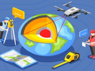
GIS (Geographic Information System) survey is a method of collecting and analyzing geospatial data to create detailed maps and models of the Earth’s surface. It combines spatial data with attribute data to provide a comprehensive understanding of geographic phenomena. GIS surveys are used in various applications, including land use/land cover mapping, infrastructure planning, and environmental monitoring.
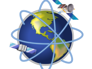
Remote Sensing is the acquisition of information about the Earth’s surface through sensors that are not in direct physical contact with the object or area being observed. It uses technologies such as satellite and aerial imagery, radar, and lidar to collect data, which is then analyzed and interpreted to extract valuable information. Remote sensing is applied in various fields, including disaster management, agricultural management, and natural resource management.


