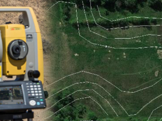
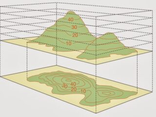
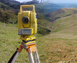
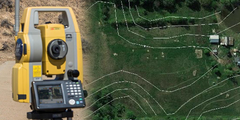
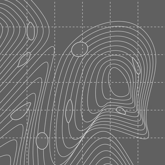
Contour Survey is surveying the variation in the elevation of the earth’s surface and their relative positions are determined with help of contour lines. The process to find out the contour lines in the ground surface or earth surface is called contouring and a map is produced by this contouring process is called contour map. It is determination of elevation of various points on the land and fixing these points of same horizontal positions in the contour map.
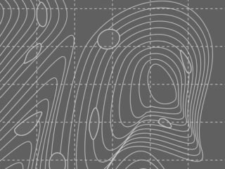
In the land property world, a contour is an outline of a mass of land. Main objective of conducting contour surveys is to identify any noticeable difference in elevation of the existing land. In land surveying a contour map is a map illustrated with contour lines, for example a topographic map, which thus shows valleys and hills, and the steepness or gentleness of slopes.
