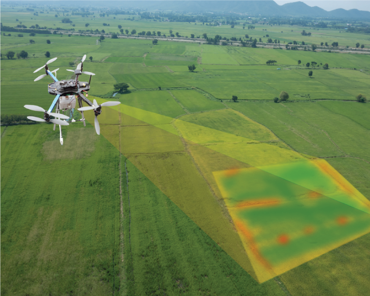
DRONE SURVEY


A Drone Survey refers to the use of a drone, or unmanned aerial vehicle (UAV), to capture aerial data with downward-facing sensors, such as RGB or multispectral cameras, and LIDAR payloads. During a drone survey with an RGB camera, the ground is photographed several times from different angles, and each image is tagged with coordinates. Surveying with a drone offers enormous potential to GIS professionals. With a surveying drone, it is possible to carry out surveys of the same quality as the highly accurate measurements collected by traditional methods, but in a fraction of the time. This substantially reduces the cost of a site survey and the workload of specialists in the field.
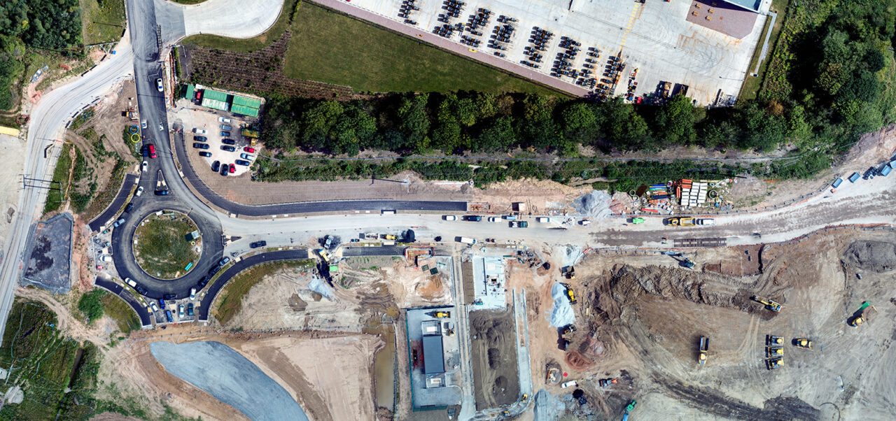
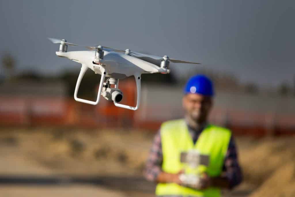
 

Image2sm
AdobeStock_228584083-min-1024x684
impact_of_drones
engineer-control-drone

Services

AVANTAGEHeadquarters
192/C, VIDHYALAYA MARG,
ASHOK NAGAR, RANCHI,
JHARKHAND, (834002).
OUR LOCATIONS‎Where to find us?
https://vecgroup.org/wp-content/uploads/2025/02/admin-ajax.png
GET IN TOUCHAvantage Social links
Taking seamless key performance indicators offline to maximise the long tail.
AVANTAGEHeadquarters
Organically grow the holistic world view of disruptive innovation via empowerment.
OUR LOCATIONSWhere to find us?
https://vecgroup.org/wp-content/uploads/2019/04/img-footer-map.png
GET IN TOUCHAvantage Social links
Taking seamless key performance indicators offline to maximise the long tail.

Copyright by Vecgroup. All rights reserved.

Copyright by Vecgroup. All rights reserved.